
RIS – Roads Information System
Project Name: RIS – Road Information System
Client: Federal Ministry of Transportation
Country: Nigeria
RIS project aims at the management of Federal roads with GIS capabilities including financial elements like budget planning, contracts payments management, contractors performance evaluation etc.
Description of the services provided
System objectives are to improve the ability of FMT to manage, maintain and control the status of federal roads throughout Nigeria. The system is a geospatial information system, with roads as its main entity.
The project included many activities and services all of which were provided by Sivan Design:
- Infrastructure of newly established service center including electricity, telephony and network wiring
- Hardware equipment including servers, desktops, scanners, printers and peripherals
- Communication equipment and configuration setup including broadband internet and Local Area Network (LAN)
- Software licenses of servers and desktop’s operation systems, GIS, CAD, imaging etc.
- GIS implementation of all relevant layers
- Training and support of relevant personnel
- Maintenance routine and ongoing support
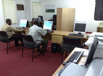
RIS offices – working with the system
Results
The system was developed by Sivan Design using the most advanced technologies and infrastructure.
RIS project is a turnkey project including software, hardware, communication and infrastructure responsibilities. The project focuses on Geospatial capabilities and requires deep knowledge in Infrastructure management, GIS technology and government related processes. RIS is used by government officials.